Definition for location coding system defined by the Norwegian directorate of Fisheries up until 2017 (inclusive). Polygons are defined in WGS84 coordinates (unprojected).
Usage
data(locationsFdir2017)Format
sf with area names identified in the column 'StratumName'. See StratumPolygon (v.2).
Examples
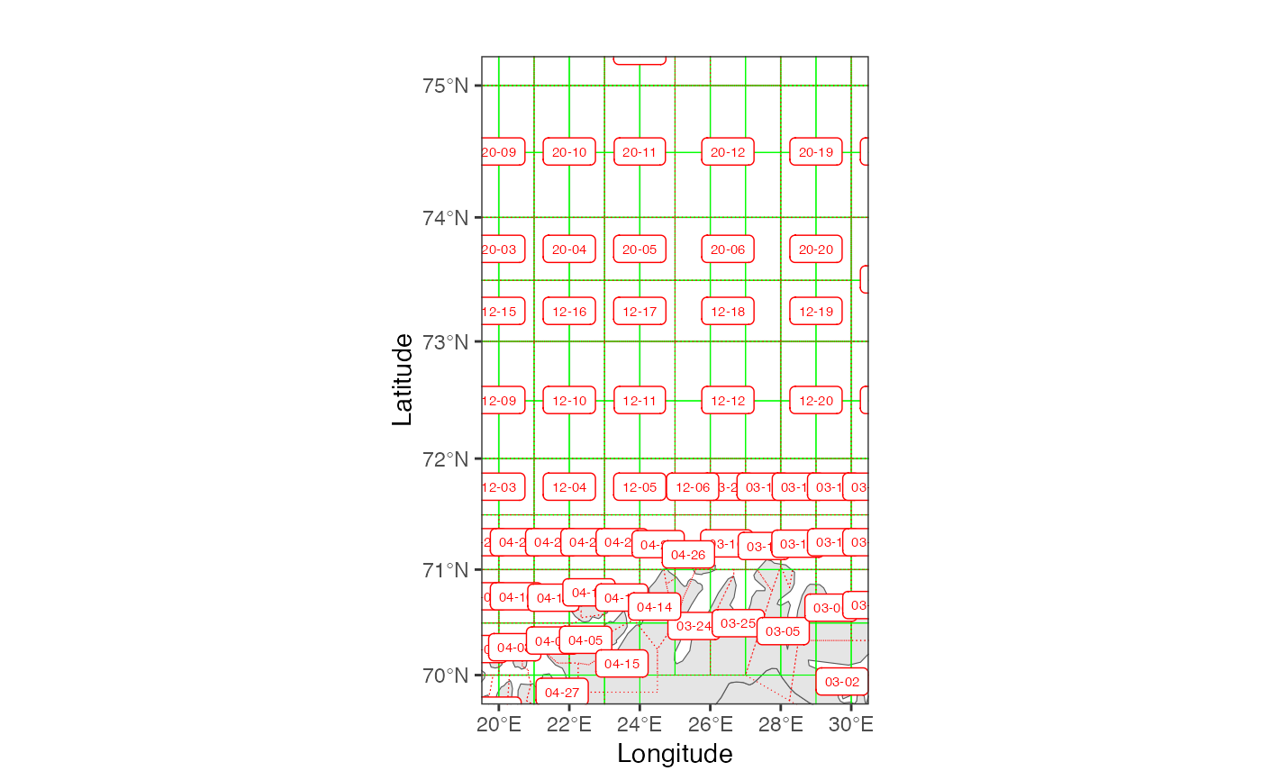
 # compare locations and ICES rectangles in Barents Sea
 RstoxFDA::plotAreaComparison(
    RstoxFDA::ICESrectangles,
    RstoxFDA::locationsFdir2017,
    xlim=c(20,30),
    ylim=c(70,75),
    linetype2 = "dotted",
    polygonColor1 = "green",
    areaLabels2 = TRUE)