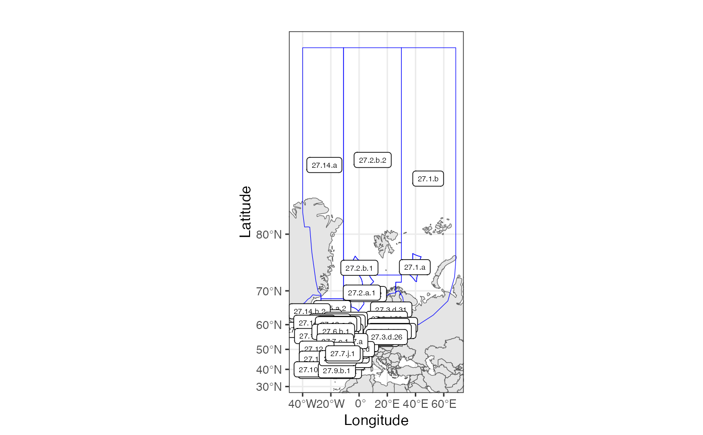
Definition for FAO Northeast Atlantic (Major Fishing Area 27) area coding system used in ICES data calls, as they have been defined from 2018 inclusive. Polygons are defined on the finest available level of aggregation, either Subarea, Division, Subdivision or Unit.
Usage
data(ICESareas)Format
sf with area names identified in the column 'StratumName'. See StratumPolygon (v.2).
Details
In addition to columns identifying the polygons in FAO nomenclature, a column with the area in square kilometers is included. Polygons are derived from shapefiles provided by ICES web-portals, and has been edited with some simplifications. Notably detailed coast-lines have been removed, in favor of drawing area borders on land-mass.
Polygons are defined in WGS84 coordinates (unprojected).
The data contains the following columns with rows for each area:
- Area_km2
Area of ICES area in squared kilometers
- Area_Full
Code for full ICES area, including the FAO area code (27).
- Area_27
Code for full ICES area, excluding the FAO area code (27).
The data also contains columns for the individual components of the full ICES area code: <Major_FA>.<SubArea>.<Division>.<SubDivision>.<Unit>
See also
ICESsubArea, ICESdivision, ICESsubDivision, and ICESunit
for polygon files separating the different levels of ICES areas.