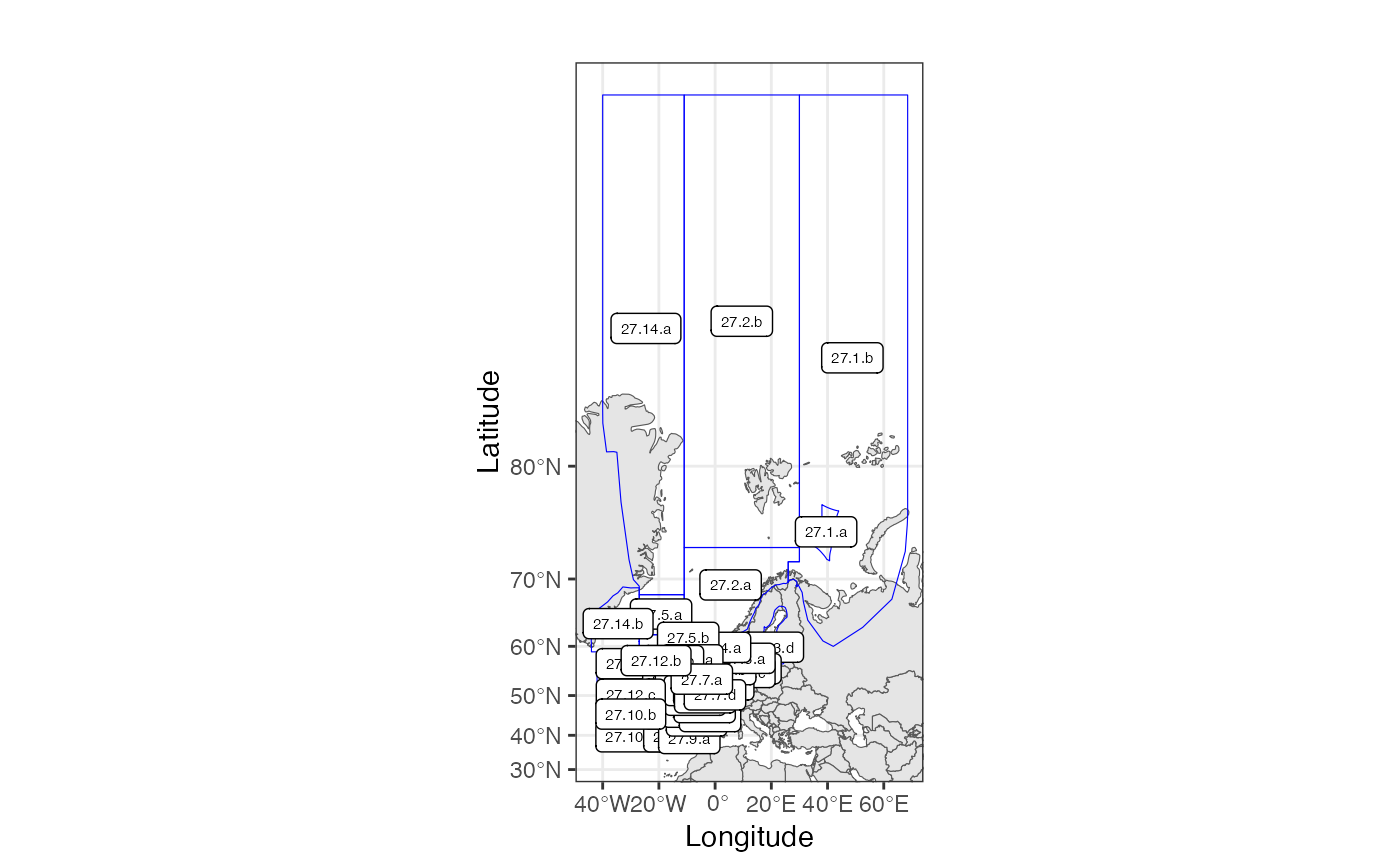
Definition ICES Divisions as they have been defined from 2018 inclusive.
Usage
data(ICESdivision)Format
sf with area names identified in the column 'StratumName'. See StratumPolygon (v.2).
Definition ICES Divisions as they have been defined from 2018 inclusive.
data(ICESdivision)sf with area names identified in the column 'StratumName'. See StratumPolygon (v.2).