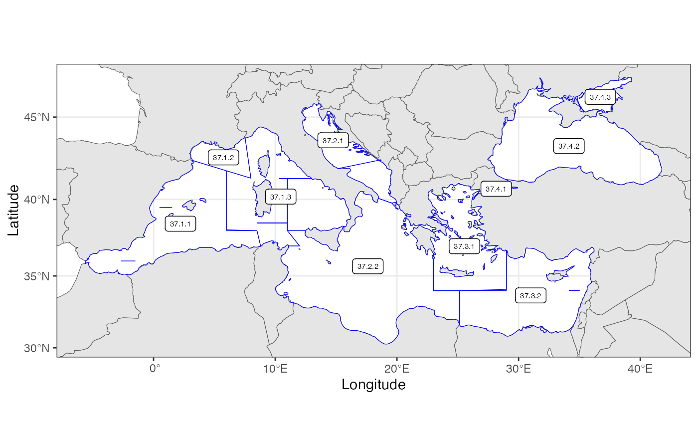
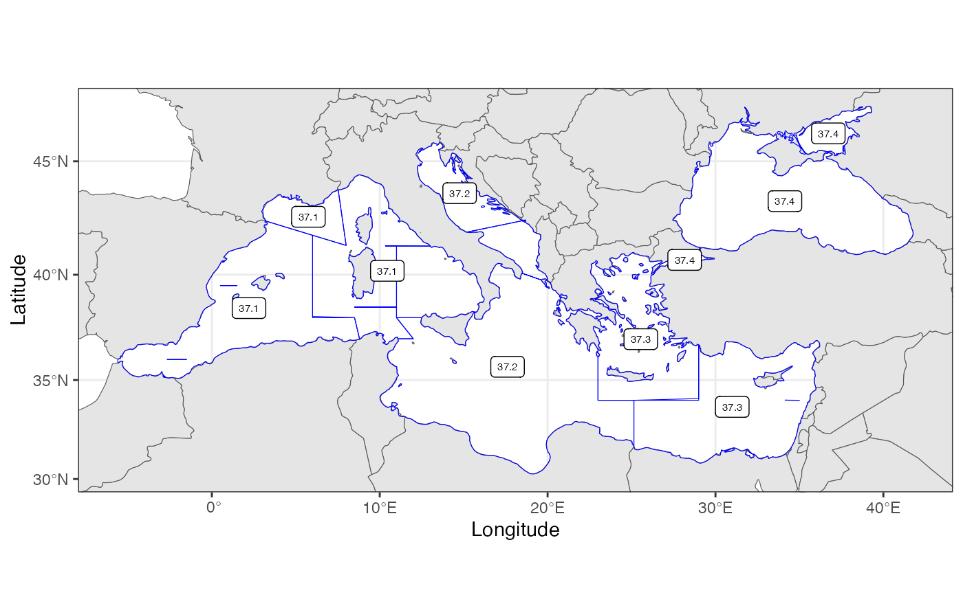
General Fisheries Commission for the Mediterranean - GFCM area coding system (FAO Major Fishing Area 37)
Polygons are defined on for Divisions, and the Geographic Subareas are annotated in the column F_SUBAREA.
sf with area names identified in the column 'StratumName'. See StratumPolygon (v.2).
Details
Polygons are defined in WGS84 coordinates (unprojected).
The data contains the following columns with rows for each area:
- F_AREA
FAO Major fishing Area (37)
- F_SUBAREA
The GSAs (Geographical subareas)
- F_DIVISION
The GFCM divisions, subdividing the GSAs.
Examples
 # plot divisions
 data(GSAsubArea)
 plotArea(areaDef=GSAsubArea)


 # plot subareas
 RstoxFDA::plotArea(areaDef=GSAsubArea, areaNameCol = "F_SUBAREA")


